
LUCAS 2018 survey: land use and land cover statistical survey
SIA “environmental experts” will carry out a survey of land cover and use in the Baltic States at the request of Eurostat EUROSTAT, including the municipality of Rezekne. The survey will take place between May and October 2018.
The survey in Latvia includes 3192 points, which may be located in all types of land cover (arable land, grassland, forest lands, built territories, transport networks, etc.). The surveyors shall determine the type of land cover and use, grassland, the existence of melioration and the elements of the landscape structure.
At the same time, a sample of soil surface is taken at 221 points. The sample is analysed in the laboratory and used for environmental determinations, such as the updating of the European soil maps, the validation of soil models and the determination of organic carbon content in soil, which is a significant factor in the impact of climate change.
A further sample of soil is taken at fifteen points to analyse soil biodiversity.
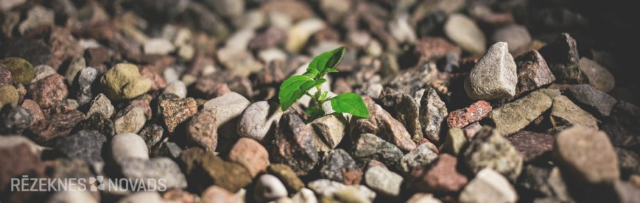
The surveyor shall operate in accordance with precise instructions to map and photograph the selected point, creating as little disturbance as possible and without damaging the plant blanket located at the point.
The information collected will be used only for the compilation of European statistics and does not reflect any personal data or data on land property. LUCAS 2018 survey data will not be used to control agricultural subsidies and are not suitable for this purpose.
We apologize for inconvenience and disturbance.
In the Annex: EUROSTAT cover letter
Ivars Spring,
MEMBER of the Management Board OF SIA Environment
Pasture dam 24D
Riga LV-1005 Tel: +371 27507017
www.videseksperti.lv