Marking of the long hiking route “Ezertaka”

Latvia has become another long hiking route richer – Latgale “Ezertaka” is marked and free of charge for each of them, which is occupied by different distance Hiking.
Many Latgale associates with blue lakes and not wasted because there are around 1200 different lakes throughout the region,
as well as other types of water bodies. As a result of lakes, the name of the long hiking route was also selected
“Ezerpaka”, which in turn is “Azaru styga”. The route was composed and developed by Latgale tourism
Association, however, on the initial idea and the courage to deal with the implementation of such an ambitious project, Latgale
The Tourism Association warmly thanked Vidzeme School of High School for the Iveta printing and
the student Amanda Valterei. “Ezerpaka” is also one of three routes of this type in Latvia which so far
in other areas, the rural tourism association “rural traveller” has been implemented. So now the hiking enthusiasts
there is a chance to go shorter and longer distance traveling through “Jūrtaka”, “Meztack” and “Ezertaka”.
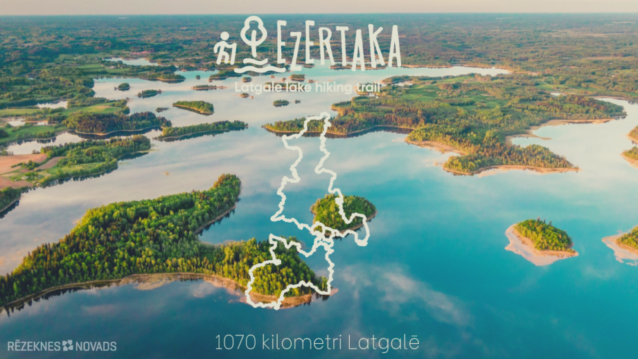
The schematic drawing of the route route is created as an astronaut or infinity mark with the crossing point
In the surroundings of Lake Razna. Overall, 134 lakes and other water bodies are found on the Ezertraa route.
The route includes one of the deeper lakes in Latvia – Geraņimovas-Ildzas (46 m), big Gusen (38 m) and
Ormia lakes (43 m) in the Kraslava side, Riu (Latvian side – 39.7 m) and Sventes (38 m) lakes Augšdaugava
in the municipality. The largest lakes of Latvia – Razna (by volume of water) and Luban (by area) are included
“Laser trail”. The route also runs along the island's richest lakes of Latvia – Azzeru. Pedestrians in summer will be
possibility to drift from the most clear lakes of Latvia – Sventes (transparency 7.5 m) and Meduma
lakes (5.2 m) in the Haute-Faugava municipality.
The “ezerpakas” route is easy to see on the Google Maps chart. For pedestrian convenience, a route is also added to the map
nearby viewing objects, accommodation, bathing sites, and food shops and pharmacies. Similarly
a separate layer of the map is a collection of Latgale churches created by the Dagda Tourism Centre. “Lakes”
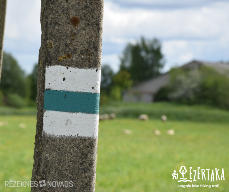
the markings in nature are marked on natural objects (trees, stones) and road signs in white-green-white.
At the end of the marking phase, the next stages of the development of “Ezerpakas” are also considered, including:
infrastructure improvements and marketing activities.
If you see that the label is missing or damaged at any stage of the route, please send us an email info@latgale.travel and we will try to improve the route as soon as possible.


