
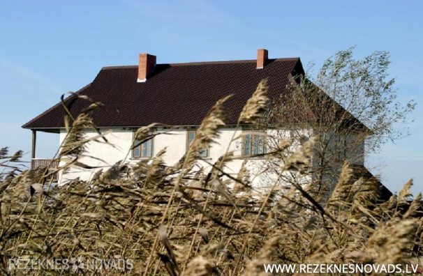
Gaigalavas pagasts, Rēzeknes novads


19260 ha
Pagasta kopējā platība
1425 ha
ūdeņi
6812 ha
meži
6393 ha
l/s izmantojamā zeme
828
Iedzīvotāju skaits (uz 01.01.2022)
The largest parish in Rezekne municipality.
Gaigalava parish is one of the smallest population densities (4.3 ./km2) in Rezekne municipality. Gaigalavas parish is located in the eastern Luban area of Eastern Latvia, the northern part of Rezekne municipality. It borders the parish of Dricans, Nagles, Nautrenes, Rikavas and Strujans, the municipality of Berzpils and Krišjana and the parish of Madona District, Ošupes. The parish is rich with marshes and lakes - there is a part of Latvia's greatest lake Lubana (524 ha), Big Kūrina Lake (66 ha), Saint lake (19 ha), Lake Small Kūrina (17 ha). Marshes: part Salas and Fence - Shrinkov swamp, Sauleskaln swamp, upes - Micha and Rezekne. The parish is crossed by the Grade 1 motorway Rēzekne - Gulbene, 2 nd class motorways Dziļars - Vectrushans - Rogovka, Gaigalava - Crowns - Fruit and Gaigalava - Vilnius.
In 1925 Bikavas civil parish renamed the parish OF Gaigalavas. In 1935, the area OF Rēzekne District Gaigalavas parish was 126.35 km ² and there were 3683 residents. In 1945, the parish was created BY Gaigalavas, Garanz, Nagļu and Stružānu in the Council, but the parish was liquidated in 1949. Gaigalavas village fit IN THE district OF Viļānu (1947-1949) and Viļānu (1949-1962) and Rezekne (after 1962). In 1954, THE village of Gaigalavas joined the liquidated Stružānu village, in 1962 the territory of the Garanza village kolhoza “Gaigalava”, in 1973 part of the territory was added TO Nagļu village, in 1981 part of the territory was added TO THE village OF Stružānu. In 1990, the village was reorganized as a parish. In 2009, Gaigalavas parish was included as administrative territory in Rezekne municipality.